
 Inquire Now
FREE upgrade to Verified Buyer and waive the payment for product sample now.
To:  Jurukur Noble Sdn Bhd
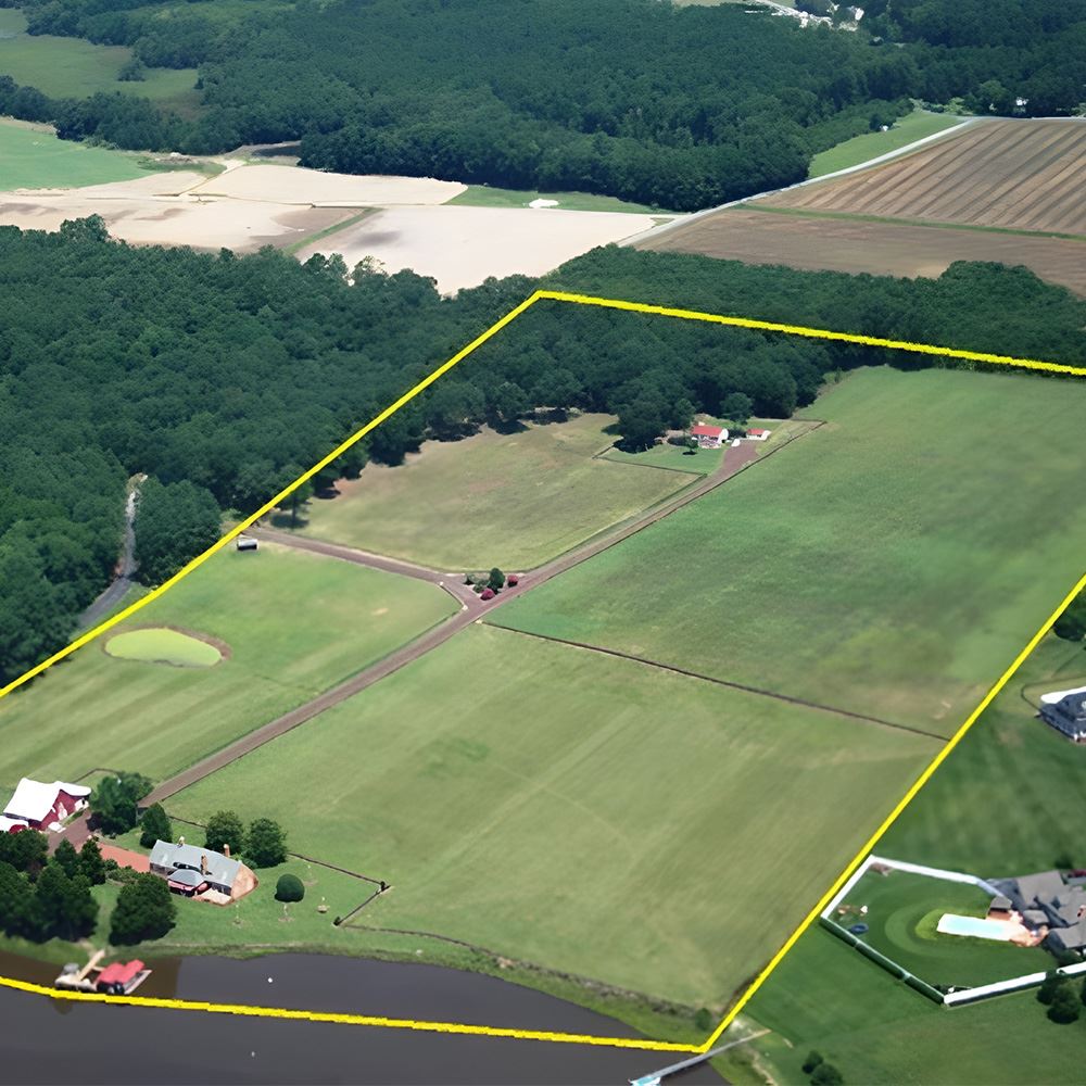
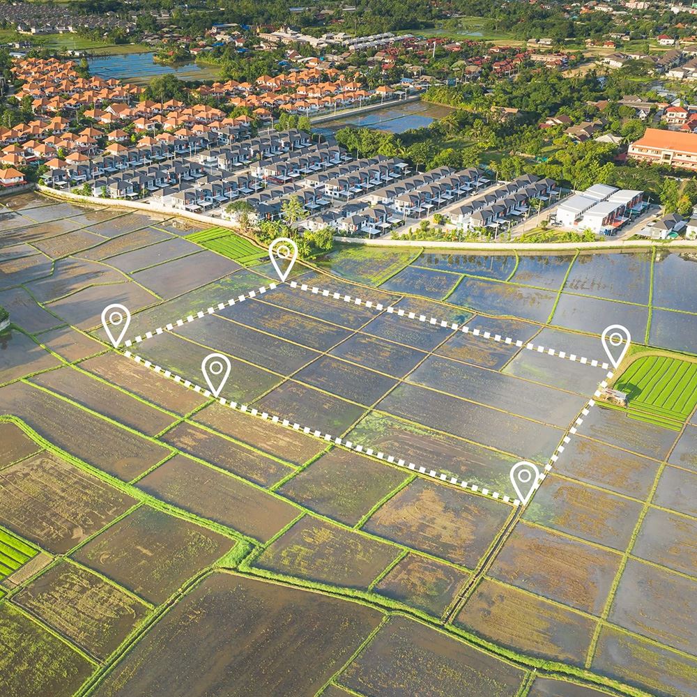
For the purpose of to map an area of land's exterior characteristics and provide crucial data for construction, architectural, and land-use projects, topographic surveys must be carried out.
Topographic surveys collect elevation data at regular intervals across the site using sophisticated surveying methods and tools like GPS/GNSS receivers and total stations. To help with site planning, drainage design, and foundations calculations, this data is utilized to create contour maps, digital terrain models (DTMs), and other graphical representations of the topography of the ground.
Other products from this supplier

How can we contact you?
OnePIP is a financial institution providing money transfer services licensed by Bank Negara Malaysia.
Powered by 


© 2007 - 2026 DagangHalal.com. All Rights Reserved. Developed and maintained by DagangAsia Network Holding Sdn. Bhd. (1344481-V)
This website is best viewed using Internet Explorer 11 or above, Mozilla Firefox and Chrome.


 AUD
AUD CAD
CAD CHF
CHF CNH
CNH EUR
EUR GBP
GBP HKD
HKD JPY
JPY MYR
MYR NOK
NOK NZD
NZD SEK
SEK SGD
SGD USD
USD